Maps
Find all the official Bibbulmun Track maps here as well as the combos to help you save.
Showing all 17 results
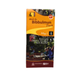
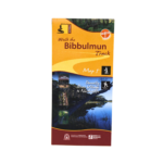
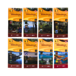
Bibbulmun Track Map 1 – Darling Range
This map extends from Kalamunda (Northern Terminus) to North Bannister.
$11.95
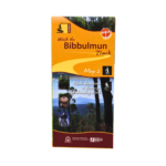
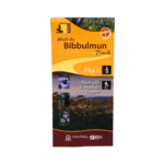
Bibbulmun Track Map 2 – Dwellingup
This map extends from North Bannister to the Harvey-Quindanning Rd
$11.95
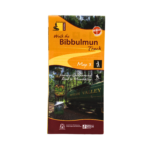
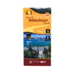
Bibbulmun Track Map 3 – Collie
This map extends from the Harvey-Quindanning Rd to Mumballup
$11.95
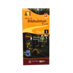
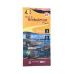
Bibbulmun Track Map 4 – Blackwood
This map extends from Mumballup to Brockman Highway.
$11.95
Bibbulmun Track Map 5 – Pemberton
This map extends from Brockman Highway to Middleton Rd.
$11.95
Bibbulmun Track Map 6 – Northcliffe
This map extends from Middleton Rd to Woolbales Campsite.
$11.95
Bibbulmun Track Map 7 – Walpole
This map extends from Woolbales campsite to William Bay campsite.
$11.95
Bibbulmun Track Map 8 – Denmark/Albany
This map extends from William Bay campsite to Albany (Southern Terminus).
$11.95
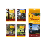
Bibbulmun Track Maps 1 to 8 Combo
Buy both the Northern and Southern Map Packs (all 8 maps).
$79.90
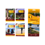
Bibbulmun Track Guidebooks 1 to 4 plus Northern Map Pack Combo
Purchase Guidebooks 1 to 4 together with the Northern Map Pack and save.
$95.75
Bibbulmun Track Guidebooks 5 to 8 plus Southern Map Pack Combo
Purchase Guidebooks 5 to 8 together with the Southern Map Pack and save.
$95.75
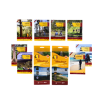
Bibbulmun Track Guidebook 1 to 8 plus Northern and Southern Map Pack Combo
Buy all eight Guidebooks and all eight Maps.
$191.50
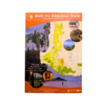
Bibbulmun Track Poster Map – A1
A1 Poster Map - 59.4 x 84.1 cm
$10.00
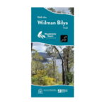
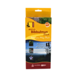
Walk the Wiilman Bilya Trail
The Wiilman Bilya is a dedicated 5-day, 4-night walking trail, stretching 87 kilometres in a loop that starts in the town of Collie.
$4.95
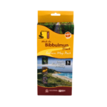
Cape to Cape Map
The Cape to Cape Track is located in the capes region near Margaret River. It begins at Cape Naturaliste near Dunsborough and ends at Cape Leeuwin near Augusta. It is an excellent 5-7 day walk which is a shorter alternative to the Bibbulmun Track.
$11.95